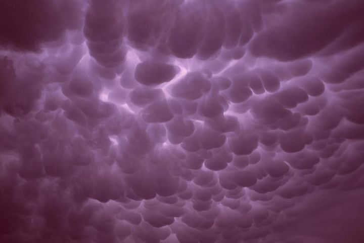
Mammatus (breast) clouds usually form under thunderheads & tornadic supercells due to a strong updraft, taking on the appearance of hanging sacs.
In the US they form mostly here in the midwest and in the eastern part of the country, but can form anywhere the conditions are right. Sometimes a storm doesn't even have to be that intense for them to form if the updraft is strong enough.
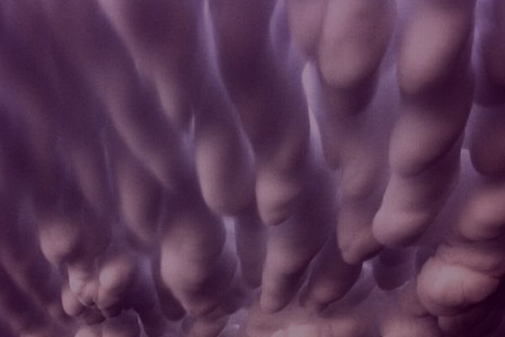
Often the sacs are quite large and low as in the second image, making some think they are tornados dropping. In fact they are more often a sign of the storm winding down.
Combined with a setting sun things can look rather freaky with colors ranging from gray to orange, red, yellow, purple or black. Just imagine looking out your picture window and seeing these over your house;


Dr. Mordrid
In the US they form mostly here in the midwest and in the eastern part of the country, but can form anywhere the conditions are right. Sometimes a storm doesn't even have to be that intense for them to form if the updraft is strong enough.
Often the sacs are quite large and low as in the second image, making some think they are tornados dropping. In fact they are more often a sign of the storm winding down.
Combined with a setting sun things can look rather freaky with colors ranging from gray to orange, red, yellow, purple or black. Just imagine looking out your picture window and seeing these over your house;


Dr. Mordrid


Comment